.jpg)
 With a demanding job schedule, a 2 year old and a fixer upper kind of house, my boating availability is sometimes limited. I've chosen quality over quantity, so when I get out its generally on something good. Fortunately for me, Deckers Creek is 10 minutes from my house, and runs pretty frequently.
When I was a undergrad student at WVU, there was a serious crowd of boaters who would be out on Deckers pretty much everytime it ran. That group has moved on, landed full-time jobs, wives, babies, etc.. Its a lot harder to find people out there anymore. Part of that may be bacause even though Deckers creek is a roadside run, it carries a lot of dangers. It is a sandstone boulder pile, with a just a bit of bedrock at the bottom. It is similiar in nature to Manns creek for its hazards. Gaping sieves and undercuts line the run, with many rapids requiring very precise or unusual lines. Two major pourovers have 10' deep caves behind/under the curtain.
Here is an example of your typical stretch of the creek. This is towards the top of the run. Deduction is the largest rapid partially visible behind the hemlock at the top of shot. Carcass is at the very bottom.
A few weeks ago my good friend Stewart Caldwell snuck into town and we hit up Deckers on a cold (in the 20's) day. Stewart is one of my favorite paddling partners. He has run just about everything you can boat in WV, including 1st descents, and is as reliable as they come when the water pours downhill. The water level was pretty much perfect: 300cfs, on the USGS Gage. We put in at a roadside pullout, being careful not to step on this guy: I don't think I've ever run Deckers without seeing a dead deer. Its kind of like good luck!
 This is towards the top of the run. Deduction is the largest rapid partially visible behind the hemlock at the top of shot. Carcass is at the very bottom.
A few weeks ago my good friend Stewart Caldwell snuck into town and we hit up Deckers on a cold (in the 20's) day. Stewart is one of my favorite paddling partners. He has run just about everything you can boat in WV, including 1st descents, and is as reliable as they come when the water pours downhill. The water level was pretty much perfect: 300cfs, on the USGS Gage. We put in at a roadside pullout, being careful not to step on this guy:
 I don't think I've ever run Deckers without seeing a dead deer. Its kind of like good luck!
This is Stewart running Carcass, the start to a great boogie water section in the middle of the run. 
Notice the icicles. Several limbo logs on the run had big fat ones hanging down from them, requiring the lead boater to play icebreaker.

Notice the icicles. Several limbo logs on the run had big fat ones hanging down from them, requiring the lead boater to play icebreaker.
Not long after this run, we had a big freeze here in WV, and boating was limited for several weeks. This past weekend, the Ice broke up, and the"Kayaker piggy bank" started to melt.
Tuesday I met Joe Hatcher after work for a quick run. Joe is one of those guys who got a real job after his masters degree, and now quietly and consistently paddles WV's finest runs around work and family. We'd waited since Sunday for the creek to come down to a friendly level- I think it was around 425 CFS. No photos from that day; it was a quick run before dark. 1.5 hours round trip from my house, sweet! Highlights included watching Joe's right side line at Hercules, my first run of Deduction since the seive opened back up, and a fun surf at the bottom of the last slide. Then it was back home to clean up and get ready for the roll session I sponsor at my job.
Unfortunately for me, I found out that evening I may not have that job much longer, due to some, ah, financial constraints on the city. Fortunately for me, Deckers was still running on Wednesday, and I was able to get out and paddle again. I really needed to paddle to clear my head; I love how everything but the task at hand fades away when running serious whitewater.
Stewart drove over from Parkersburg again, and we ran into Jared Seiler and his good buddy Max at the creek. They were just finishing up a second run, and Jared agreed to go back up with us for his triple dip. We all explored Joe's right side line at Hercules, and ran the rest of the creek in pretty tight formation, getting down in an easy 25 minutes, with about 250cfs in the run. Since we still had daylight, I suggested we go to the "Lions Club" section of Deckers, which is a park and huck series of waterfalls a few miles upstream of the usual run.
 Kayaking access was probably not in the Lions Club's intentions when they took over this park, but... Thanks Guys!
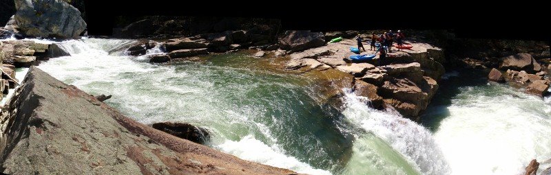
This run consists of a flume drop, an automatic-stern-first-big-air-boof waterfall, a clunkier falls, and then the final waterfall pictured below. Total drop is around 100 feet in just a short section. It is geologically similiar to the NF Blackwater, and has a larger window of boatable flows than the lower section; the upper limit really depends solely on your tolerance for large holes.
Max was kind enough to take this photo of me on the final falls. 

The LZ of this drop has undercut shelves under the water on river right and river left, with a small deep pocket in the center. The hole at the base of the falls is also big enough to recirculate a boat and or swimmer at high water, which makes for a (not) fun time. Plugging not recomended.
You can see Jared's take of the afternoon, with additional photos, on the Team Pyranha website.
You can see Jared's take of the afternoon, with additional photos, on the Team Pyranha website.
Jared will also be appearing at the WVU roll session on Thursday, March 1, with a handful of Pyranha kayaks to sample.


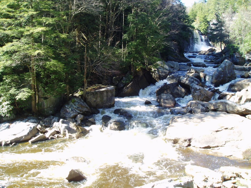
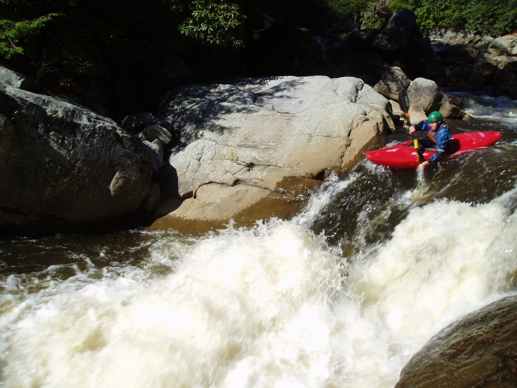
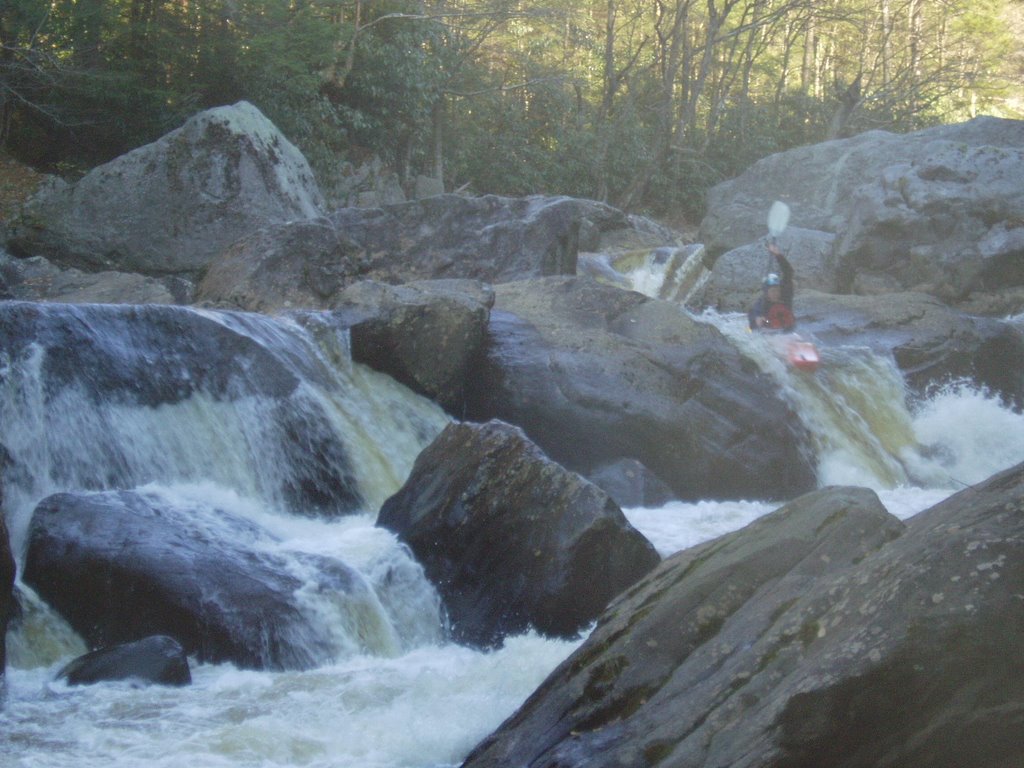
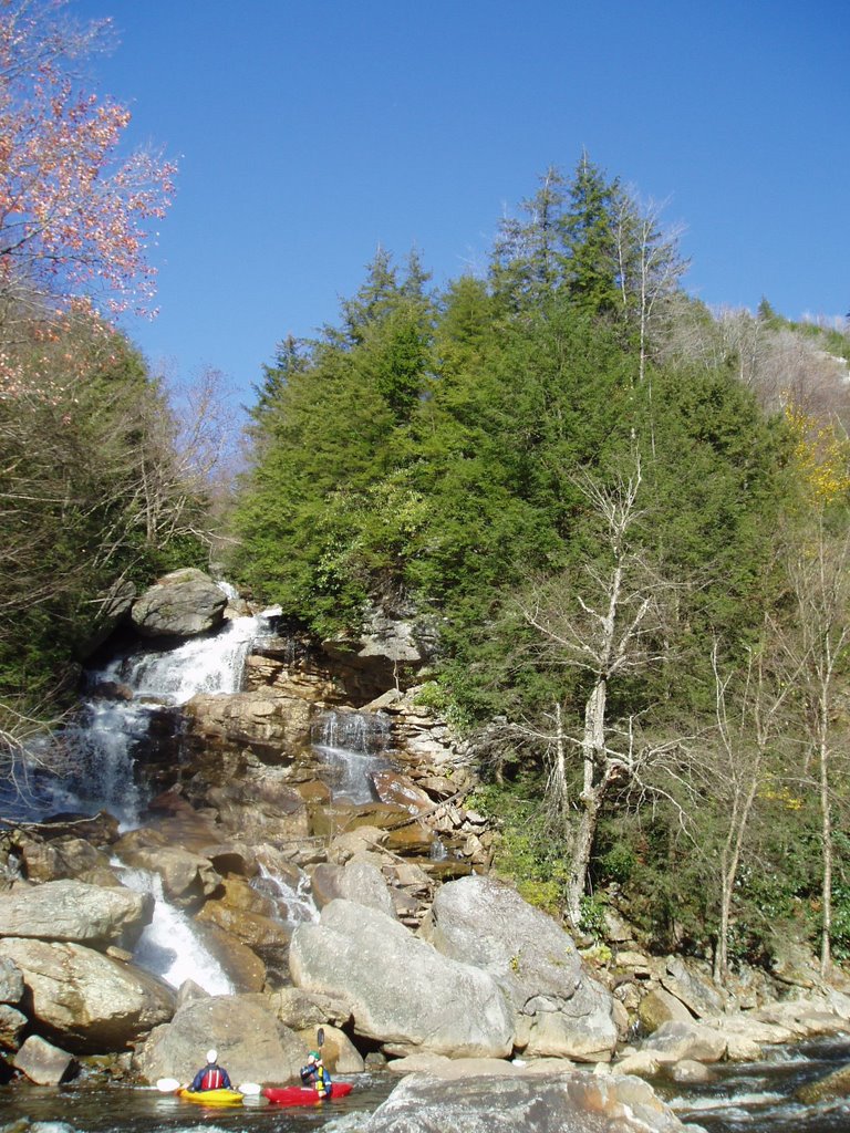


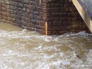 Photo: Take out Gauge on Pringle Run the day of our run.
 Photo: D dropping into a foamy Pringle Falls.